Hotel on the hillsides above Gap
Gap, in the heart of the Alps
Gap, the capital of the Hautes-Alpes, is the department's cultural, administrative and commercial centre. The city is also a tourism hub on the Route Napoléon which links Golfe-Juan and Grenoble. Gap is situated between Grenoble, Embrun, Serre-Ponçon and Sisteron.
Surrounded by the mountain peaks of the Ecrins Massif and of Le Dévoluy and Le Champsaur, Gap is the ideal starting point from which to explore the valleys and the Ecrins National Park, just a few kilometres away.
The presence of the Conservatoire Botanique here is an indication of the city's commitment to taking steps to protect the environment and preserve local natural heritage.
With its pure air, its wide range of sporting and cultural activities, its outstanding landscapes, and its 300 days of sunshine per year, Gap is a place you will never tire of exploring and makes the perfect destination for a relaxing and unforgettable holiday with family or friends.
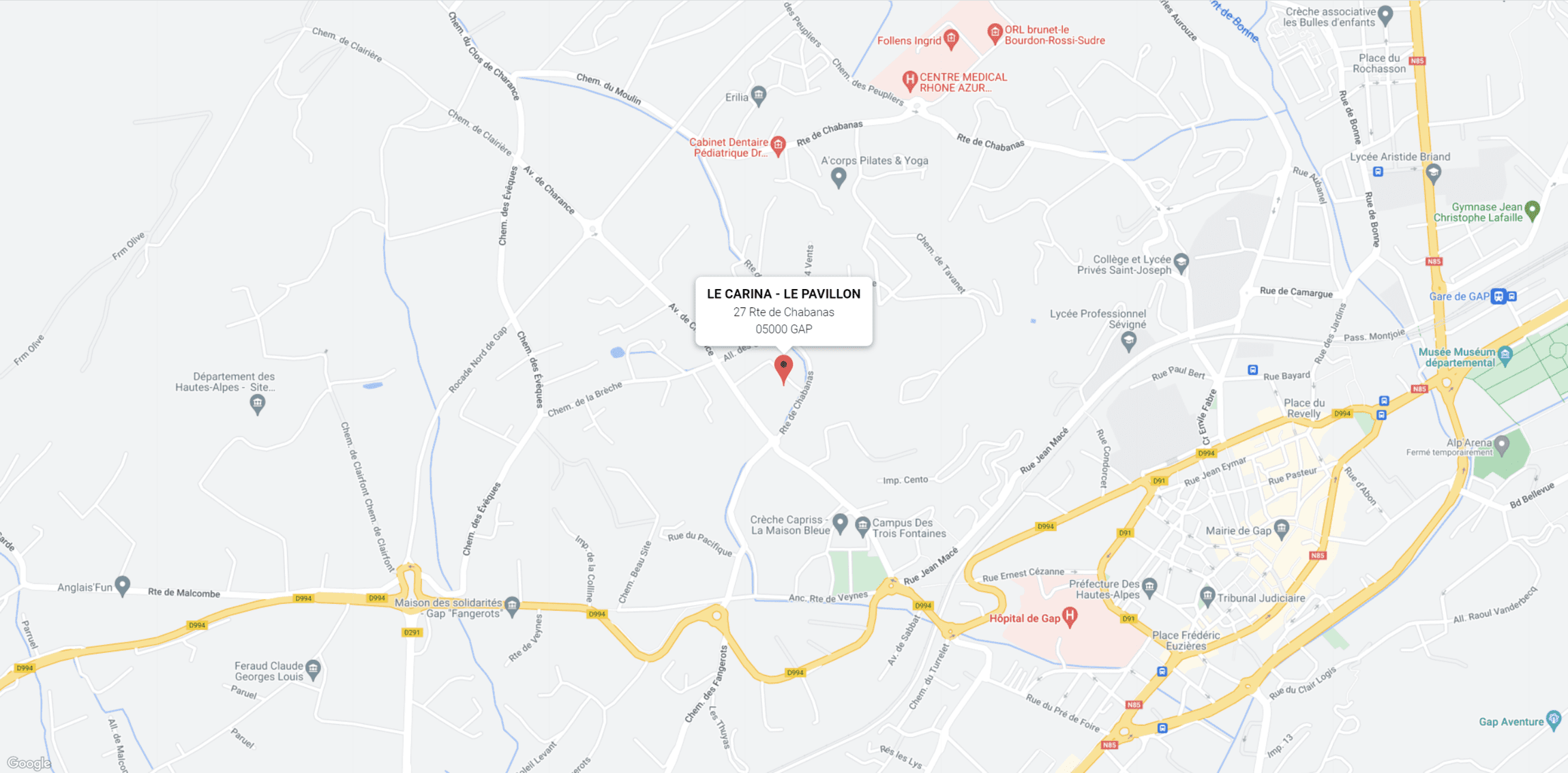
How to get here
By car
Coming from Grenoble, either take the N85 Route Napoléon to Gap
- Or take the N75 towards Sisteron,
- via the Col de la Croix-Haute,
- then follow the signs to Gap on the D994b.
- Coming from Marseille, take the A51.
- Follow signs to Gap and take the exit for La Saulce.
- Coming from Italy,
- take the Col du Montgenèvre.
- Take the N94 to Gap.
GPS coordinates
Latitude: 44.561411 | Longitude: 6.065686
By train
Gap railway station is 8 minutes away
By plane
- 150 km away
- 175 km away
Public transport
All Gap's urban transport services are free of charge.
We are on the Ligne 2 bus route.
Principle towns and cities nearby
Distance in kilometres from Gap to:
| Serre-Ponçon | 25 km |
Sisteron | 51 km |
Dignes-les-Bains | 88 km |
Briançon | 90 km |
Grenoble | 100 km |
Aix-en-Provence TGV railway station | 175 km |
Turin (Italy) | 196 km |
Monaco | 250 km |


